Central Oregon · Oregon
Parks & Recreation in La Pine: Trails, Facilities & Outdoor Life (2026)
Most small Oregon towns with fewer than 3,000 residents have a playground and maybe a ball field. La Pine has 55,500 acres of national monument, a state park that sprawls across more than 2,300 acres along the Deschutes River, and over 100 documented trails within easy reach. The outdoor infrastructure here is comically disproportionate to the town's size — and that's the point.
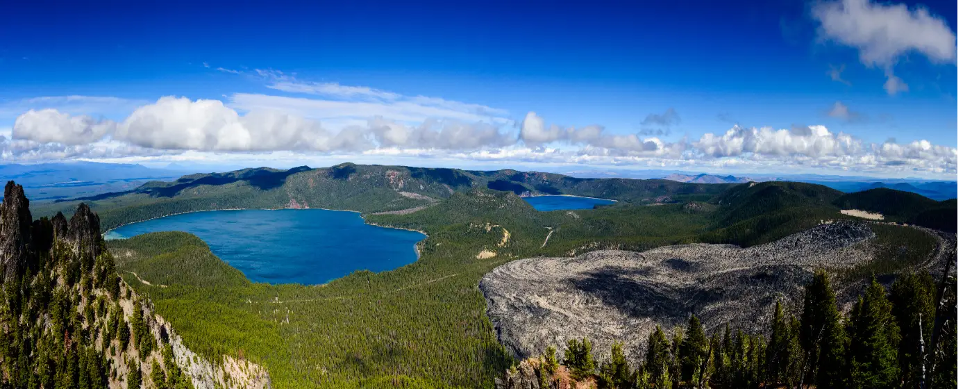
What shapes the parks and recreation landscape in La Pine isn't city planning — it's geology. Newberry Volcano sits just to the northeast, and its legacy is everywhere: lava tubes, obsidian flows, caldera lakes, and forests that grew on top of ancient flows. The La Pine Park and Recreation District manages 85 square miles of land locally, but the real draw is the surrounding Deschutes National Forest and Oregon State Parks system that frames everyday life here.
This guide covers what's inside town, what's just outside it, and how to think about the outdoor access you'd be buying into if you made La Pine home.
| Park / Recreation Area | Highlights | Best For |
|---|---|---|
| Frontier Heritage Park | Splash fountain, playground, rentable event space | Families, community events |
| Walling Lane Park | Ballfields, playground (ages 5+), restrooms | Youth sports, neighborhood play |
| Leona Park | 2 acres, Riverland Drive river access, wildlife habitat | Quiet walks, nature viewing |
| Rosland Campground Area | Forest trail, geocaching, red rock/sand terrain | Easy hiking, exploration |
| La Pine State Park | 2,300+ acres, Deschutes River access, 11-mile trail network | Camping, mountain biking, families |
| Newberry National Volcanic Monument | 55,500 acres, lava caves, caldera lakes, Paulina Peak | Serious hiking, geology, adventure |
| Lava Cast Forest | Paved 1-mile trail, 7,000-year-old tree molds | Kid-friendly history walks |
| Big Obsidian Flow | 1-mile loop, 500-ft gain, youngest lava in Oregon | Moderate hikes, photography |
The in-town park system is modest by metro standards — primarily Frontier Heritage Park and Walling Lane Park for day-to-day use. What La Pine lacks in developed parkland within city limits, it more than compensates for with the sheer scale of public land accessible within a short drive.
Location: Off 1st Street, La Pine, OR 97739
The centerpiece of in-town recreation is the Big Splash Park fountain, funded through more than $56,000 in community fundraising with contributions from Midstate Electric Co-op and the Lions Club. The park also features a playground, brick walkways with purchasable engraved bricks, and a venue space that gets booked for weddings and community dinners. It's a small park with genuine civic pride baked into it.
Best for: Families with young kids, summer afternoons, community events.
Location: 51390 Walling Lane, La Pine, OR 97739
This is La Pine's main active recreation park, with ballfields and a playground built for kids ages five and up. Restroom facilities are on site, and the adjacent open space gives it a more expansive feel than a typical neighborhood pocket park. Youth sports leagues organized through the La Pine Park and Recreation District use this facility regularly.
Best for: Youth sports, after-school play, organized leagues.
Location: Off Riverland Drive, La Pine
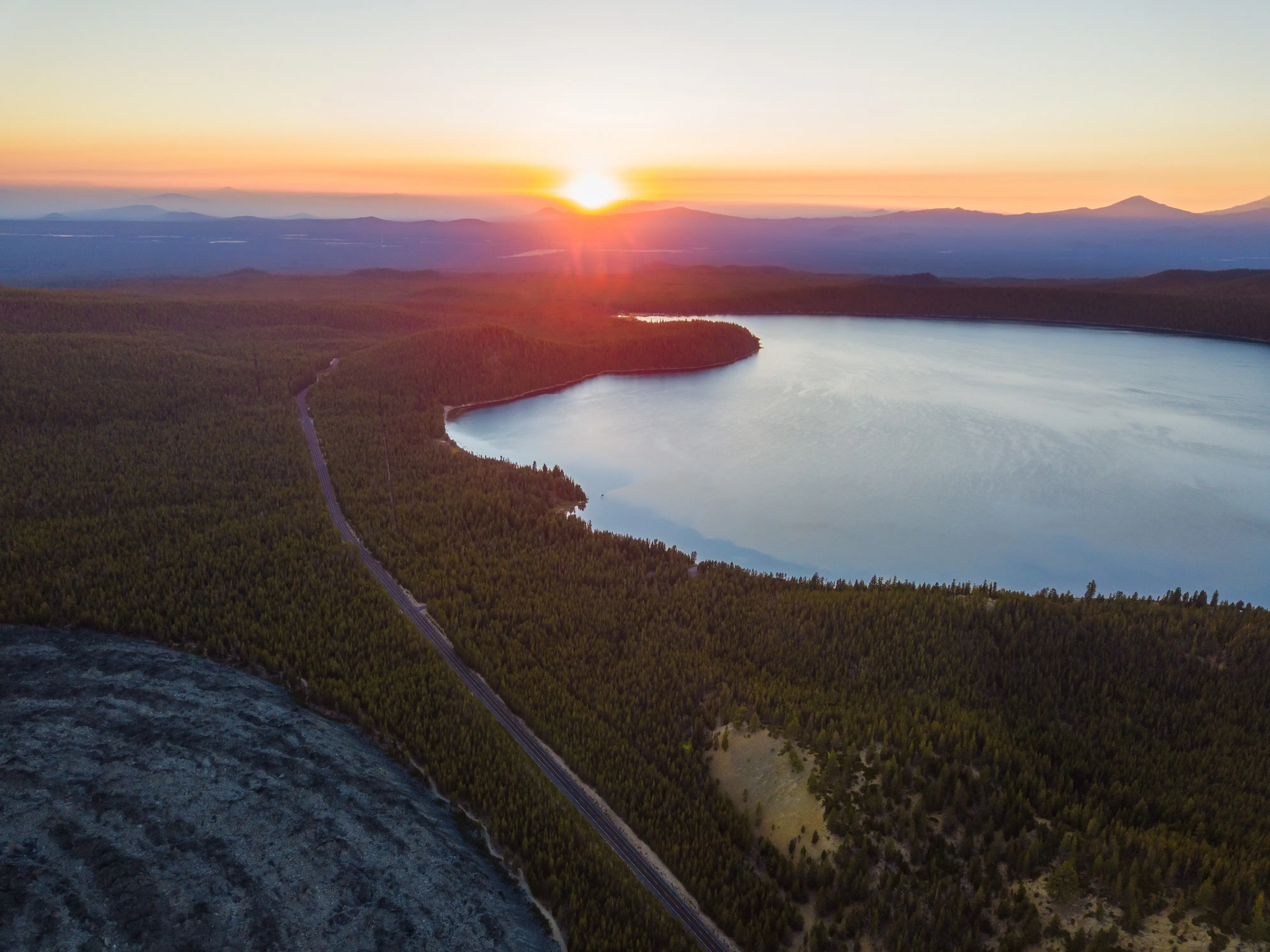
At just two acres, Leona Park doesn't look impressive on paper — but its position along the river corridor makes it one of the most quietly valued spots in town. Wildlife and riparian habitat viewing along the water's edge gives it a feel well beyond its footprint. It's undeveloped by design, which means it stays uncrowded.
Best for: Nature walks, birdwatching, a quiet 20-minute escape.
Location: 7 miles north of La Pine via State Recreation Road off Highway 97
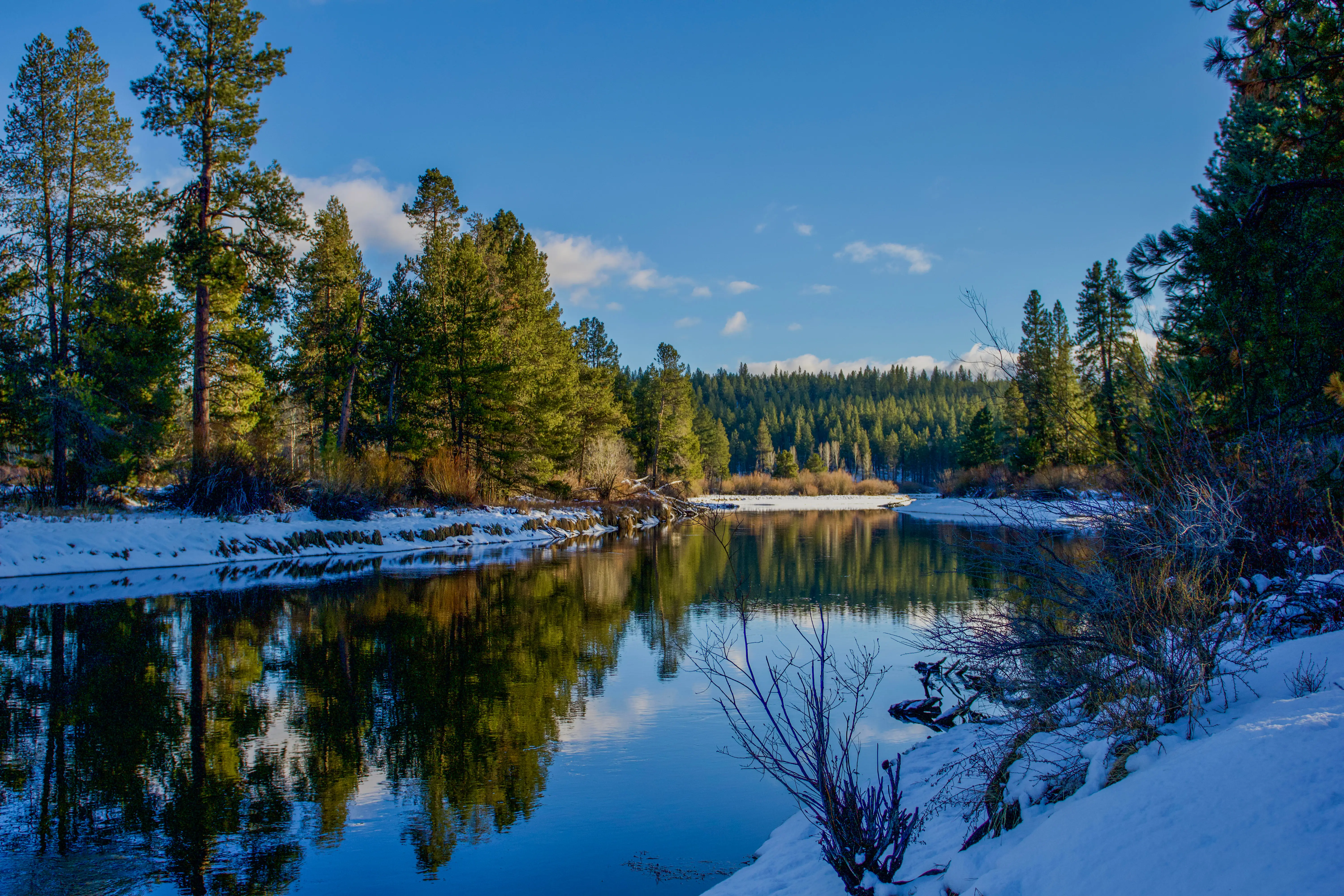
The 2,300-acre state park is the most significant outdoor facility directly serving La Pine residents. Eleven miles of multi-use trail wind along the Deschutes and Fall Rivers, covering mostly flat terrain — ideal for families, novice mountain bikers, and anyone who prefers distance over technical challenge. The park also holds a legitimate piece of natural history: a ponderosa pine nearly 162 feet tall and estimated at 500 years old, believed to be the largest of its species in the world. Year-round camping, deluxe cabins, and more than 80 RV hookup sites make it a destination, not just a day-use spot — but 169,000 annual visitors somehow still leaves the park feeling spacious on most weekends.
Best for: Mountain biking, family camping, river access, trail running.
Location: Access via Highway 97 south of Bend; Paulina Lake Road (County Road 21) for Caldera access
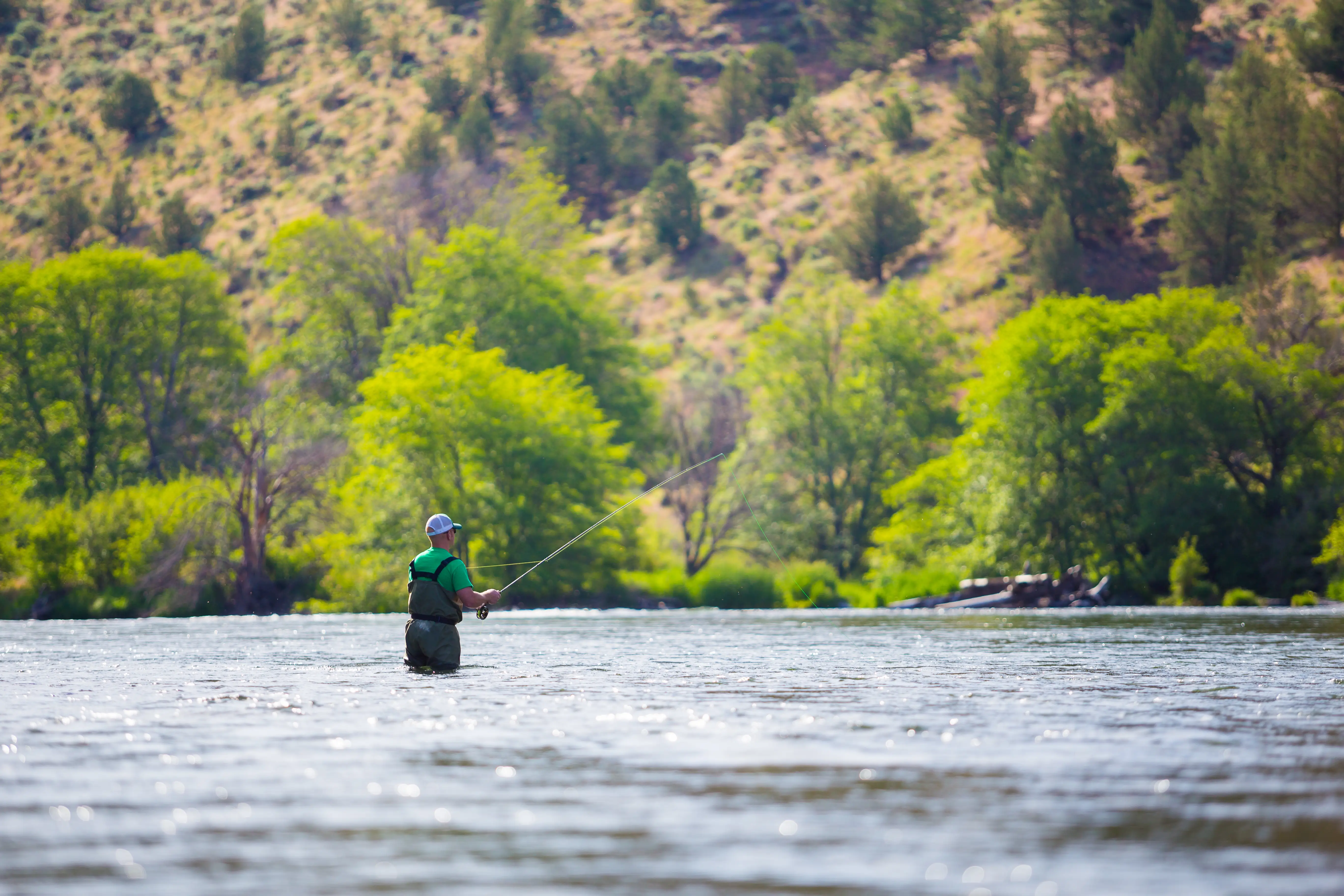
At 55,500 acres established in 1990, Newberry is the defining outdoor experience near La Pine — and it's genuinely unlike anything else in the Pacific Northwest. The monument divides into three distinct zones: the Lava Lands near Highway 97, the Lava Cast Forest, and the Newberry Caldera at elevation. Paulina Peak rises to 7,985 feet and is reachable via a 6-mile out-and-back or a 12-mile crater rim loop. Paulina Lake and East Lake offer swimming, fishing, and boating in summer, while natural hot springs on Paulina Lake's north shore draw hikers willing to put in the miles. A Northwest Forest Pass is required for entry — the day pass runs $5 per vehicle.
Best for: Serious hikers, geology enthusiasts, summer lake recreation, mountain biking in the caldera.
The Sun-Lava Path deserves its own mention. This paved multi-use trail runs 5.5 miles one way, connecting the Lava Butte area near the Lava Lands Visitor Center to the north end of Sunriver Resort. It's bikeable, walkable, and accessible from Highway 97 — making it the kind of commuter-adjacent trail that La Pine and Sunriver residents use for both recreation and practical movement between communities. For families with kids who bike, it's the flattest and most approachable introduction to the monument's trail system.
Within La Pine State Park, the trail network along the Deschutes and Fall Rivers is well-signed with markers at every junction. The terrain is level enough for kids on bikes and wide enough to share comfortably with horses and hikers. AllTrails lists over 100 scenic routes across the La Pine area, including 17 designated easy or kid-friendly options — enough variety that most residents report rarely repeating the same loop for months at a time.
Looking to buy in La Pine? Estimate your payment.
Enter your numbers to see an estimated monthly mortgage payment.
Estimate only. Excludes HOA fees and mortgage insurance.
The La Pine Park and Recreation District operates out of the Community Center at 16405 1st St, La Pine, OR 97739, open Monday through Friday from 9 AM to 5:30 PM. Beyond managing parks and open space, the district coordinates after-school and summer youth programs, adult education courses in partnership with COCC and the La Pine Public Library, and a full senior activity calendar. The skate park is also district-managed and serves the middle and high school crowd that tends to disappear from organized youth sports as they age. Board meetings happen the first Tuesday of each month at 6 PM in the Wickiup Room for residents who want to engage directly with how the district allocates its resources.
La Pine doesn't have a dedicated aquatic center within city limits. The closest full-facility option is SHARC (Sunriver Homeowners Aquatic and Recreation Center) in Sunriver, which is roughly 15 minutes north and offers year-round indoor lap swimming, slides, and family programming. The LPRD does partner with SHARC for some adult education and wellness programming, which gives La Pine residents partial access to that facility through district connections.
| Destination | Distance from La Pine | Highlights |
|---|---|---|
| La Pine State Park | 7 miles north | 2,300+ acres, Deschutes River trails, mountain biking |
| Newberry National Volcanic Monument | ~20 miles | Caldera lakes, Paulina Peak, lava caves, hot springs |
| Lava River Cave | ~25 miles north | Mile-long lava tube, Oregon's longest; seasonal |
| Sunriver Resort & SHARC | ~15 miles north | Aquatic center, bike paths, resort amenities |
| Diamond Lake | ~50 miles south | Fishing, camping, North Shore hiking trail |
| Mt. Bachelor Ski Area | ~50 miles north | Downhill skiing, 3,683 vertical feet, summer lift access |
| Crater Lake National Park | ~80 miles south | Rim Drive, backcountry trails, iconic caldera views |
| Collier State Park & Logging Museum | ~40 miles south | Easy walking, historic logging exhibits, bridge walk |
Local Expert Takeaway: La Pine's most underrated outdoor asset for buyers is the Rosland Road trail system on the edge of the Deschutes National Forest. It's not on most tourist maps, it doesn't require a pass, and it offers easy forest hiking with a red rock and sand surface that feels nothing like the paved paths near Bend. If you're comparing homes in the Rosland or Forest View area versus Central La Pine, that direct forest edge access is a meaningful quality-of-life difference that doesn't show up in a Zillow listing.
Does La Pine have good parks and trails for families?
Yes — La Pine State Park's flat 11-mile trail network along the Deschutes River is genuinely family-friendly and accessible for kids on bikes. In-town, Frontier Heritage Park's splash fountain and Walling Lane's ballfields cover the everyday needs. The surrounding national monument has 17 designated easy and kid-friendly routes as well.
Is Newberry National Volcanic Monument easy to access from La Pine?
The monument is roughly 20 miles from La Pine with access via Highway 97 and County Road 21 toward Paulina Lake. Most trailheads and the Lava Lands Visitor Center are reachable in under 30 minutes. A Northwest Forest Pass is required — the day pass is $5 per vehicle.
Does the La Pine area have mountain biking trails?
La Pine State Park offers an 11-mile multi-use trail network described as flat and beginner-friendly, which is ideal for families and riders building confidence. Newberry National Volcanic Monument has more demanding mountain biking terrain in the caldera, including routes around Paulina Lake. AllTrails lists over 100 routes in the broader La Pine area across all skill levels.
Explore the full La Pine series: The Ultimate La Pine Relocation Guide · Is La Pine Safe? · Cost of Living in La Pine · Best Neighborhoods in La Pine · La Pine Schools & Family Life · La Pine Youth Sports · La Pine Parks & Recreation · Retiring in La Pine · 1031 Tax-Deferred Exchange in La Pine · La Pine First-Time Homebuyers Guide · Moving to La Pine from California
Tell us what you need help with and we'll connect you with local resources.

About the Author
Todd Davidson is the founder of Living in Oregon and Living in Washington, where he publishes in-depth city guides, neighborhood resources, and local market insights covering more than 180 communities across the Pacific Northwest. While his background is in home financing and real estate, he created these digital platforms to help families research and compare regions before making a move.